Camp Cove
Camp Cove, Watsons Bay: a shore dive map of the linear reef and Green Point, and the species you can expect to find on each.
One of my favourite sites, because it takes two tanks properly and looks nothing like the other side of the harbour. GPS positions are WGS84 throughout.
Conditions today: this site is Camp Cove on the VIZ Forecast.
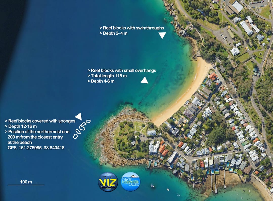 The Camp Cove map
The linear reef
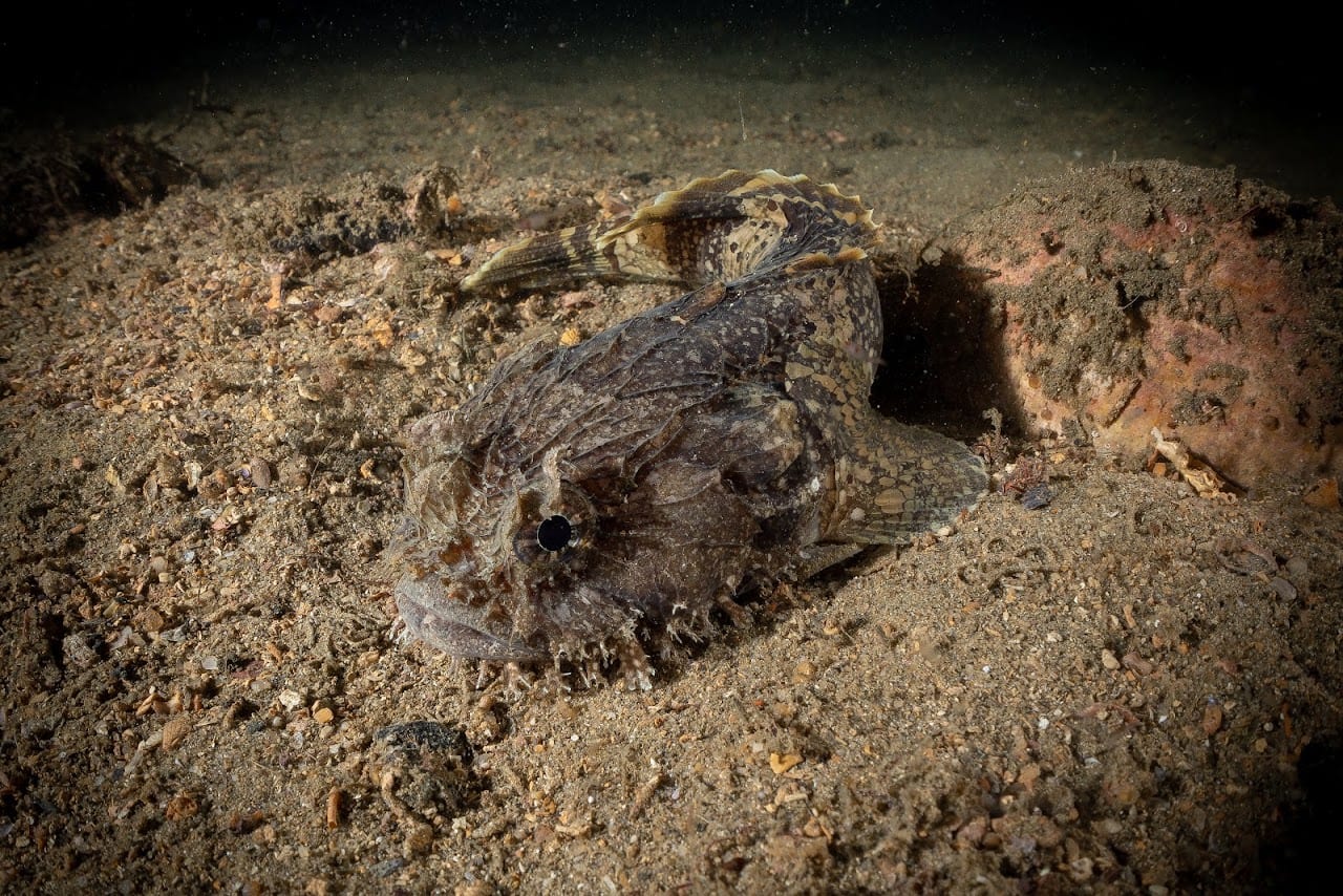
The reef runs parallel to the beach and, with all its overhangs, looks more promising than it turns out to be — check the crevices and it is moderately interesting rather than remarkable. Once you have been along it and back, the better use of the air is a wider circle out over the sand, where crocodile fish seem common.
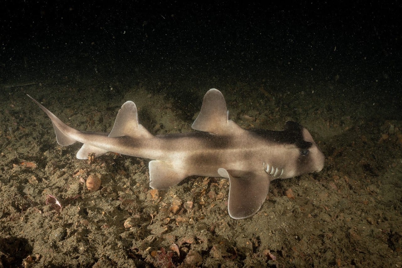
The north end of the bay has big boulders and swim-throughs, sometimes with wobbegongs resting in them, but it does not last: before long it is shallow and sandy.
Green Point
The second dive, at the southern end of the bay. In the first 30 m from the beach, with luck, there is a blue devil tucked into an overhang.
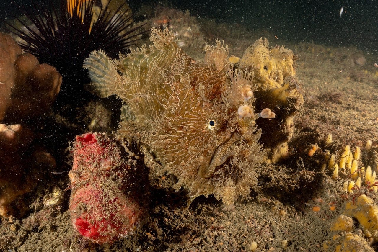
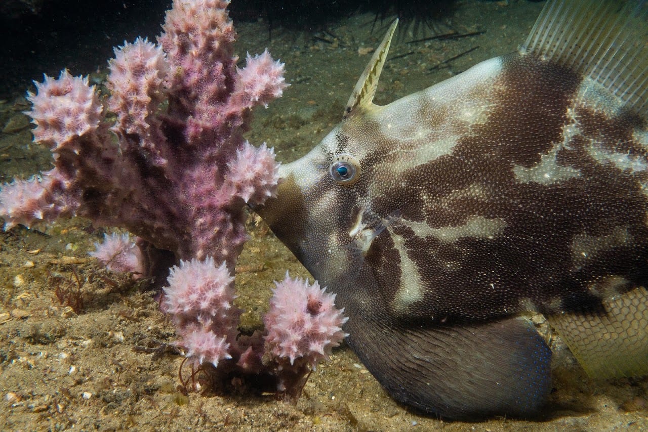
As the point turns south-west, leave the sandline and go deeper — 12 to 16 m — until the boulders start. It feels like being in the middle of the harbour, and the reward is the colour: sponges of every kind, and species worth the swim. Smallhead sole, eastern frogfish, striate anglerfish, black rabbitfish — known as Happy Moments, for what its spines do to a fisherman handling it.
The more you look the more you see, and the limit is the depth and the 300 m back to the beach. Worth every metre of it.
I have done both dives several times, always at night.
What is down there
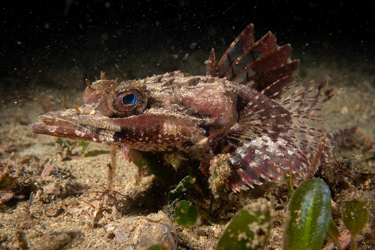
 Crocodile fish
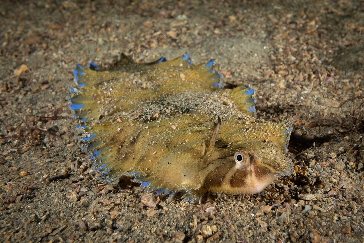
 Smallhead sole
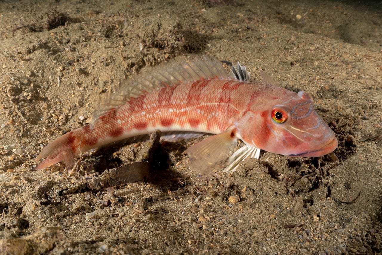
 Pinkbanded grubfish
 Eastern frogfish
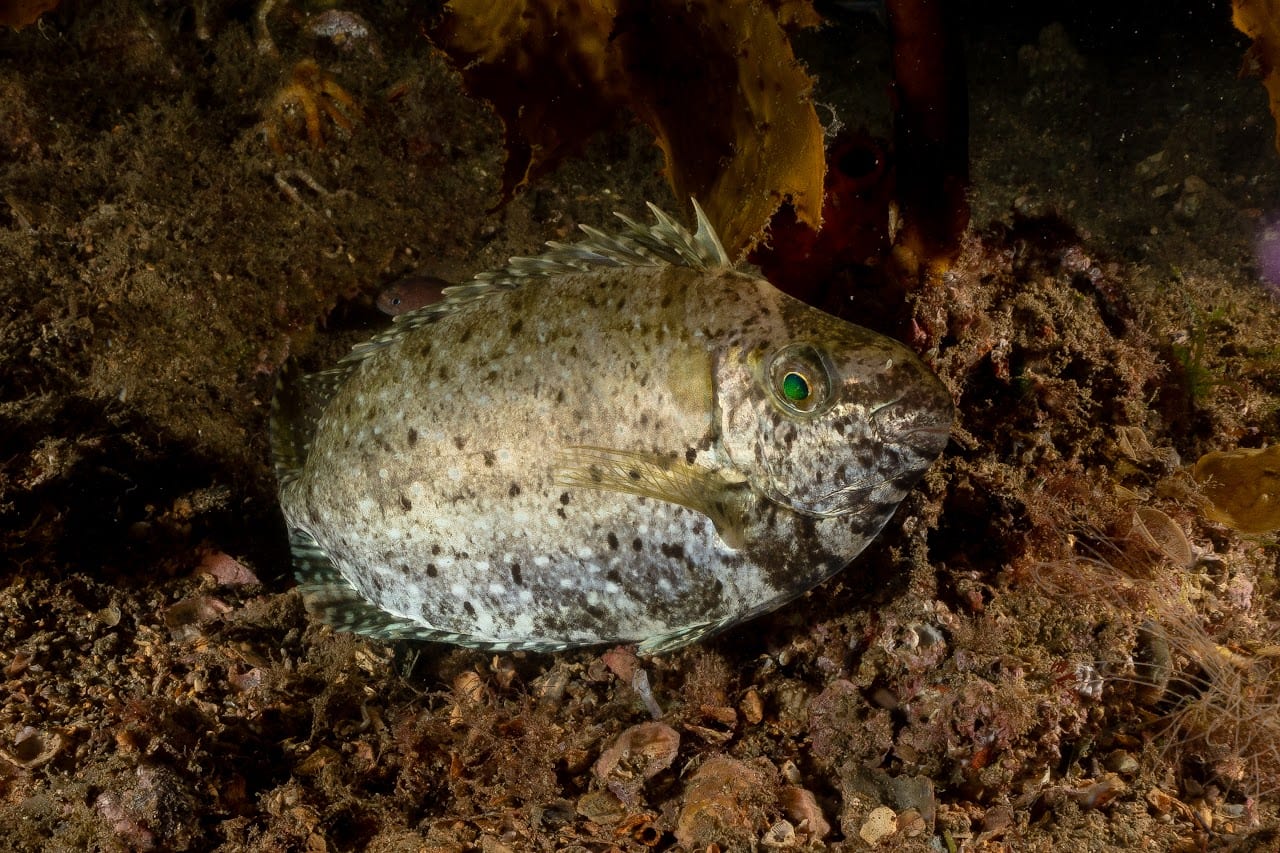
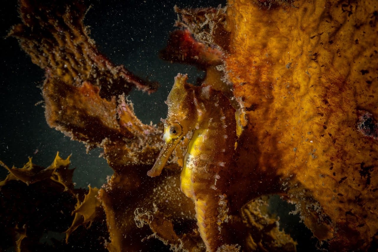 Black rabbitfish — Happy Moments
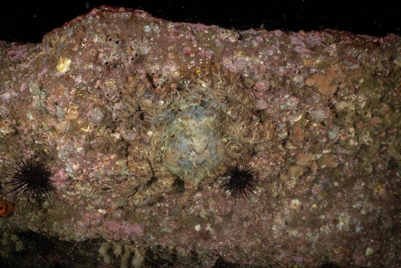
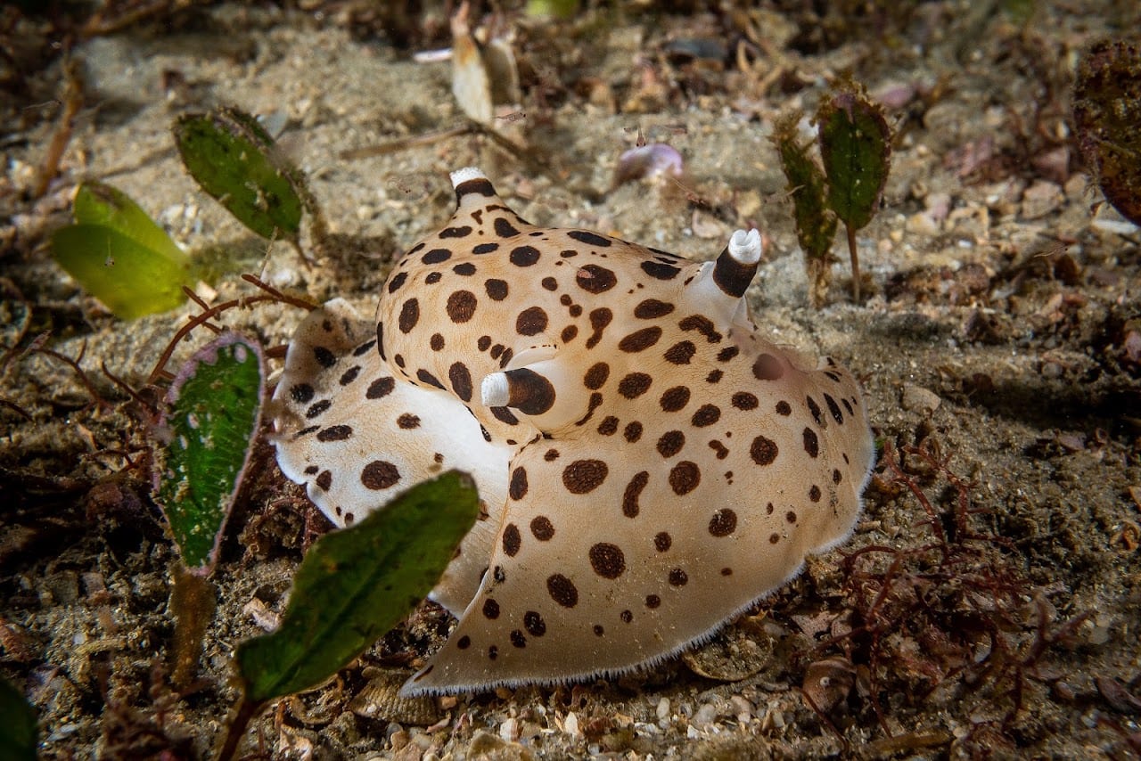 Can you see the octopus?
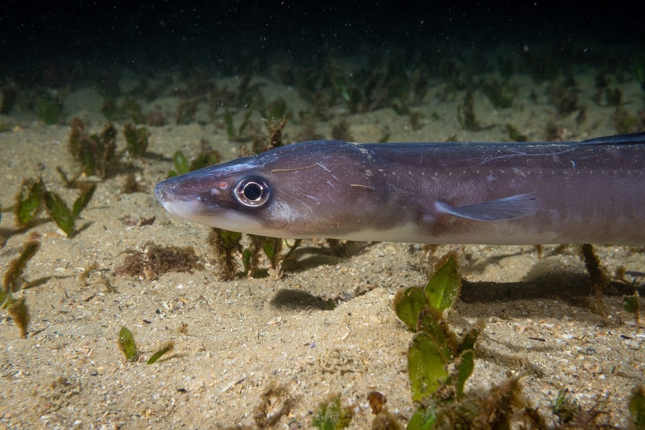
The pinkbanded grubfish is on iNaturalist here.